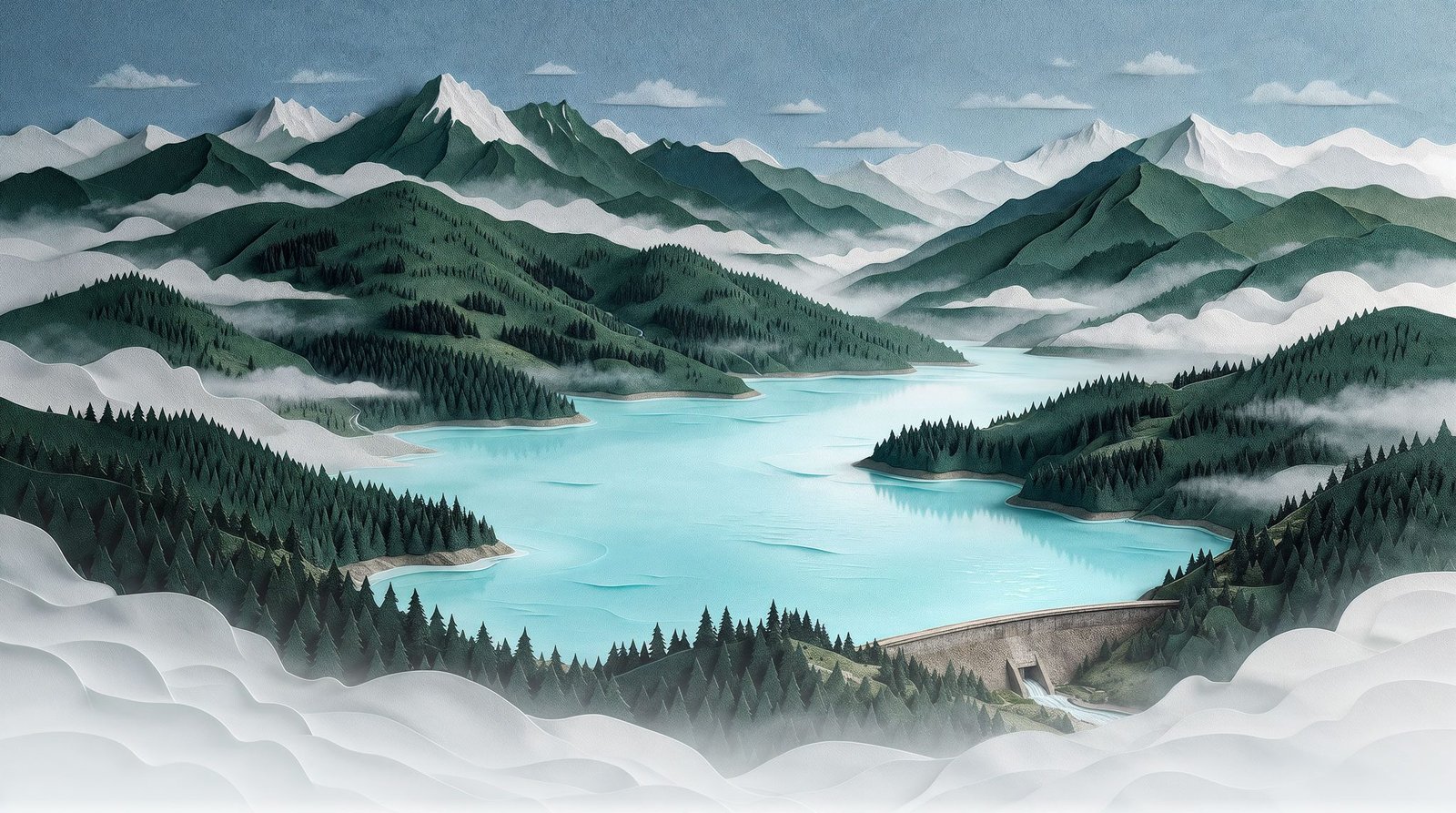
Seven stops, one drop. Follow the water from the rain gauge to the kitchen tap, with the real numbers from the region's own reports.
It starts as a Pacific storm
Wet winter systems roll in off the ocean and stall over the hills northwest of Victoria. Most of the rain arrives between fall and spring, and the reservoir has to carry the region through the dry summer.
A forest that works as a filter
The rain lands in a protected watershed of old forest, moss and creeks. Public access is restricted, and the Capital Regional District owns nearly all the land around it, so the water stays clean at the source.
That protection is the first barrier in a multi-barrier system.
The lake that holds the region's water
About 30 km northwest of downtown, Sooke Lake Reservoir has supplied Victoria since 1915. Its dam was rebuilt in 1970 and raised again in 2002–03 to store more of each winter's rain.
In 2024 it supplied all of the region's source water.
Straight through the mountain
Water leaves the lake through two 1,200 mm pipelines to a head tank, then enters the Kapoor Tunnel: a concrete-lined bore, finished in 1970, that runs through the rock to the Goldstream valley.
Light, then chlorine
At the plant in Japan Gulch, ultraviolet light disables microorganisms. Chlorine is added next, then ammonia, which forms chloramine to keep the water safe on its long trip through the pipes.
The water is not filtered. Its turbidity is low enough that the system qualifies for a filtration exemption from the province.
Under every street
Large transmission mains carry the treated water to storage reservoirs on high ground, like the one on Mount Tolmie, which hold supply ready for peaks and emergencies. From there, each municipality's network takes over.
Into the glass
A drop that may have fallen on the Sooke Hills months earlier comes out of a kitchen tap, tested along the way by thousands of samples a year.
Third-largest water system in BC
Average water use per day in July 2026. One ML is a million litres.
Lab analyses a year, from about 6,000 samples.
Wholesale cost of one litre in 2026 ($0.93 per cubic metre).
Year Sooke Lake first sent water to Victoria.
Directed by a designer, built with AI
I wanted to turn public infrastructure data into a story people would actually scroll through. I researched the system in the Capital Regional District's own reports, wrote the narrative as seven stops and set the art direction: one painterly opening image, then a calm series of technical models where water is the only colour, so the eye always follows the drop.
Magnific generated the opening paper-cut landscape from my prompts. The seven stops are schematic isometric figures built in code with Claude, each one a small real object that explains its step: a rain gauge, a contour model, a dam, a tunnel section, a treatment line, a city block and a kitchen tap. I chose every scene, checked every number against its source and finished the images in Adobe Creative Cloud.